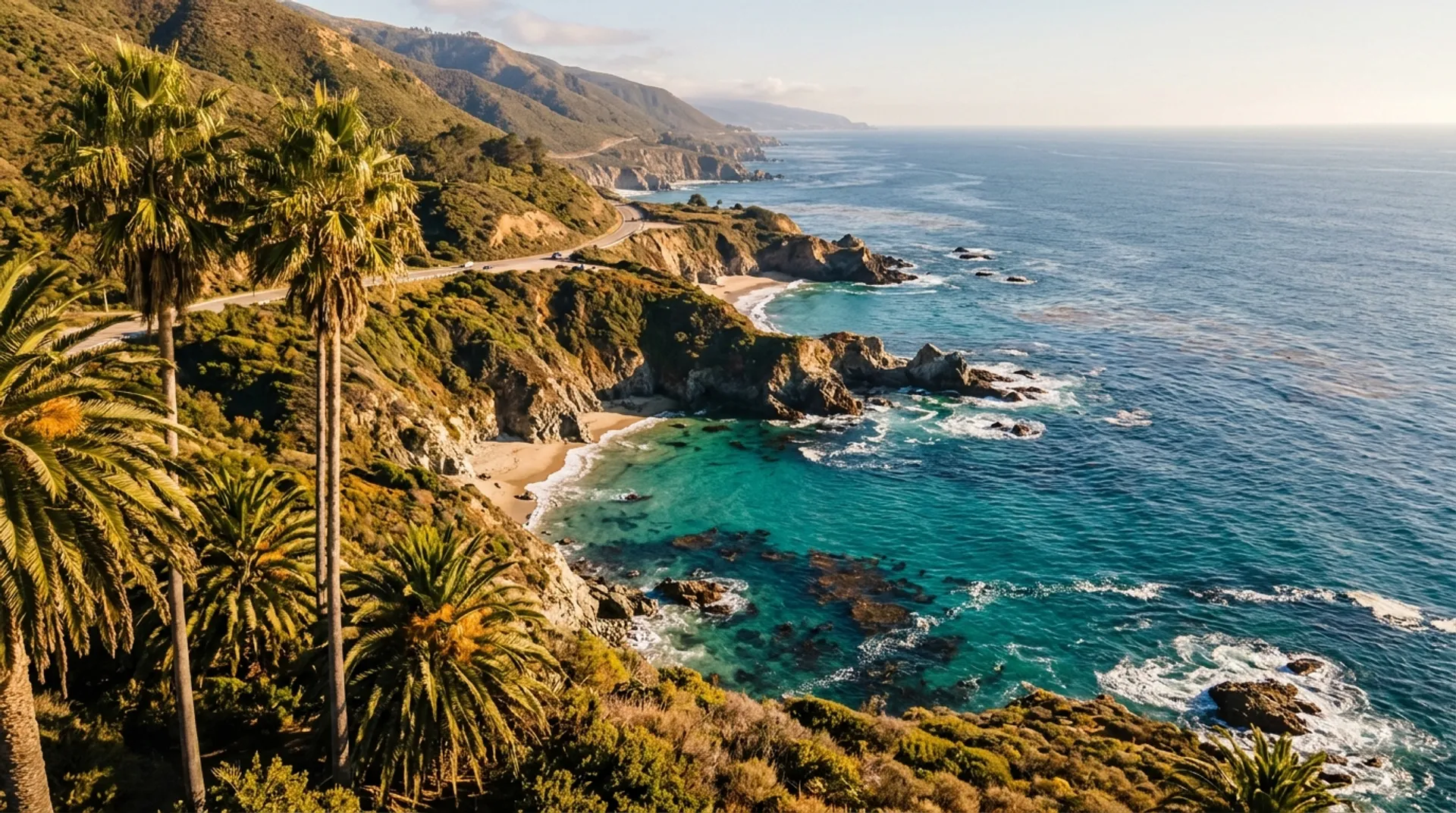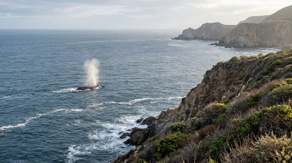
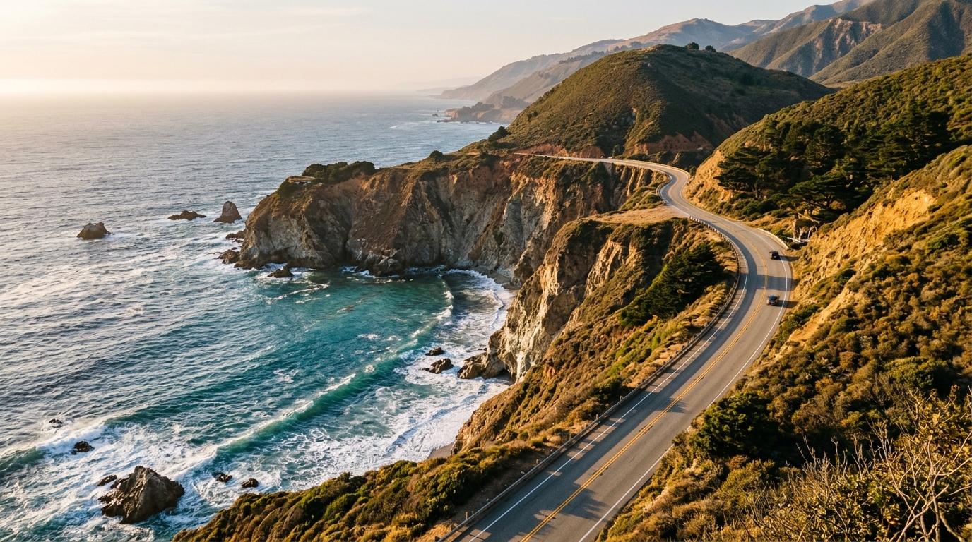
A California Highway 1 road trip is still one of the most memorable ways to see the coast in 2026, but the best itinerary begins with flexibility. A route can look short on a map and still take most of a day once you account for winding roads, viewpoints, meals, and changing conditions. The magic lives in the pauses, not in how many miles you log.
Visit California released its 2026 road trips guide with renewed attention on scenic highways and the Route 66 centennial. Highway 1 deserves its own pace. This guide focuses on practical planning between Monterey, Big Sur, and San Luis Obispo County, while explaining how to adapt the trip when weather or roadwork changes your plans.
Start With the Road, Not the Photo Stops
Highway 1 follows vulnerable coastal terrain. Construction, storm damage, and traffic controls can affect travel even when through traffic is generally possible. Before leaving, check Caltrans travel information and QuickMap, and verify your route again on the morning of departure. A blog article cannot substitute for live roadway updates.
As of early November 2026, published state road reports listed traffic controls at several locations on the Central Coast. These reports change, so do not rely on that snapshot to determine future access. A reliable trip plan has room for delays and an alternate route that does not depend on reaching every viewpoint.
Build the Route Around a Manageable Base
For a relaxed first visit, choose a Monterey or Carmel base and explore the nearby Big Sur coast as a day trip. That allows you to return without committing to a long cross-state drive. Travelers continuing south toward Cambria or San Luis Obispo can split the journey into multiple days and check any restrictions before setting out.
Expect limited cell service in parts of the coast. Download offline maps, identify fuel options, and let someone know the broad route if you are traveling through isolated areas. Keep daylight in mind: fog, narrow shoulders, and sharp curves can make late driving more demanding than the route distance suggests.
When estimating a day, include more than driving time. Add a generous margin for a fuel stop, restroom break, slow-moving vehicle, and several photographs. A navigation app may estimate the shortest realistic travel time between two points, but it does not know whether your group will linger at a coastal view for forty minutes. Write down one essential destination and two optional extras. If you need to drop the optional stops, the day still has a satisfying purpose instead of feeling like a failed checklist.
Choose Viewpoints Without Overpacking the Day
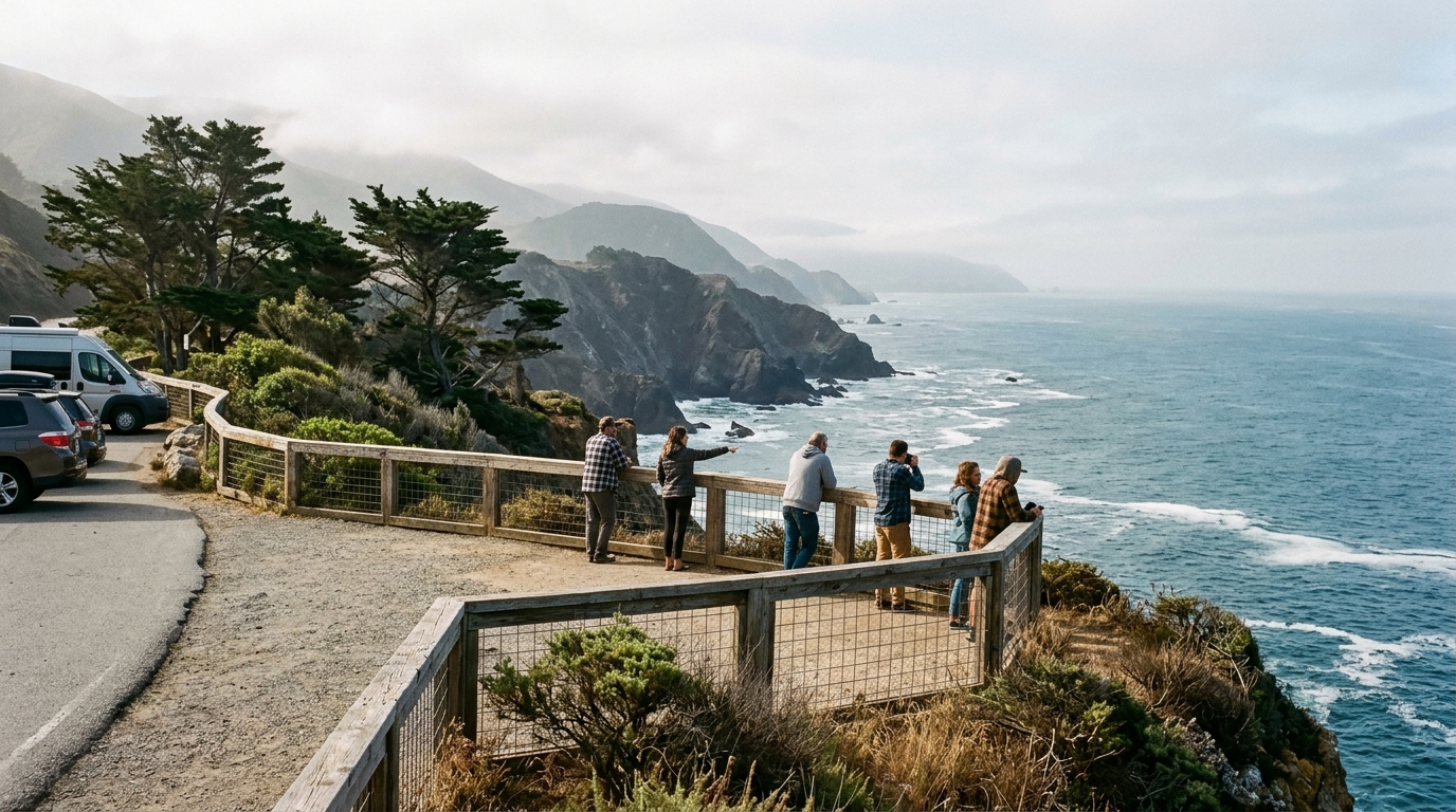
Pick two or three meaningful stops instead of collecting every pullout. A dramatic bridge view, a short designated trail, and a leisurely ocean-view lunch can create a satisfying day. Use established turnouts and legal parking areas; do not stop in travel lanes for photographs or walk across unsafe shoulders.
At popular overlooks, take your time but respect other visitors. Stay behind barriers, protect vegetation, and be cautious around unstable cliffs. Even beautiful blue-sky days can bring strong wind. A simple plan that leaves the final hour unbooked will serve you better than an itinerary that depends on perfect traffic.
Plan for Fog, Rain and Limited Services
Coastal weather varies sharply over short distances. A sunny café patio can be followed by cool fog only a few miles away. Carry layers, water, and snacks; check forecasts for each region rather than using a single city’s weather. During storms, turn around if authorities warn of hazards or conditions feel unsafe.
Do not assume a remote viewpoint has restrooms, charging, fuel, or reliable reception. If driving an electric vehicle, confirm charger availability before you enter less-served stretches and allow buffer range for climbs and detours. The goal is a comfortable trip, not a test of how little preparation you can manage.
Pair Scenic Driving With California Food Stops
A road trip feels more connected to its surroundings when meals are part of the route. Consider a bakery breakfast before departure, a simple picnic sourced from a local market, or a planned lunch in a town with reliable services. This avoids choosing lunch only when everyone is hungry and the next restaurant is far away.
Coastal dining can be popular and sometimes expensive. Check current menus, opening hours, and reservation policies directly with the venue rather than depending on a dated travel list. The Cali Diaries restaurants guide offers a starting point for building a food-focused route around the drive.
Packing a few snacks is helpful, but a real meal break gives everyone a chance to reset. Find a town where you can sit down, refill water, and discuss whether the next stretch is worth the time. A visitor who is enjoying the coastal views from a comfortable lunch table may not need to add another distant overlook. If a restaurant has limited operating hours, make sure the entire group knows the backup option. On a remote route, having a second food plan is basic practicality rather than overplanning.
A Flexible Two-Day Highway 1 Coastal Escape
On day one, spend time around Monterey and Carmel, then drive south for a measured selection of coastal views. Return to your base before you are exhausted. On day two, choose whether to repeat a favorite stretch, visit a nearby cultural stop, or continue south only when the road is suitable. This works especially well for travelers who would rather enjoy fewer places thoroughly.
Avoid setting a rigid arrival time at a distant stop unless a reservation requires it. Instead, place your must-do activity first and make the remaining stops optional. You can find other route ideas in the destinations and road trips collection.
Make Time for Experiences Beyond the Car
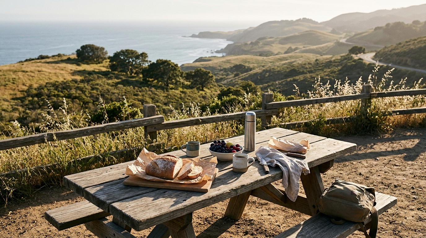
If conditions allow, mix driving with a short designated walk, a viewpoint with interpretive information, or a visit to a local gallery. The Central Coast is not merely a background for photographs; its communities, coastal habitats, and history deserve attention. Choose experiences that are compatible with the weather and your group’s mobility.
Keep the travel pace inclusive. Children may need frequent breaks, while some travelers prefer paved viewpoints over trails. When choosing a walk, verify its current opening status with the park or managing agency. Trail conditions can change independently of highway access, and a previously accessible path may be closed for restoration.
The best short walks are chosen for conditions, not simply for their online popularity. Check whether your preferred trail requires reservations, whether parking fills early, and whether the return path is suitable for your group. A short visit to an official visitor center can sometimes offer more useful context than an unplanned scramble toward an overlook. It is also a good place to ask about restoration work or sensitive habitat areas that may not appear in broad road-trip itineraries.
Responsible Travel Makes the Coast Better
Use marked paths, pack out your rubbish, and never feed wildlife. Give marine mammals plenty of space and follow posted viewing rules. Photography should never require stepping into a road, climbing a fence, or approaching a cliff edge. Small choices protect the coastline and reduce risks to other travelers.
In towns with limited parking or seasonal traffic, walking between nearby attractions can be easier than driving from one block to another. Support local businesses when you can and respect residential access. A thoughtful visitor sees more than scenery; they help keep the places they enjoy worth visiting.
Know When to Change the Plan
Rain, rockfall warnings, traffic controls, heavy fog, or unexpected fatigue are valid reasons to shorten a coastal drive. Keep a list of alternative activities in Monterey, Carmel, or San Luis Obispo so the day remains enjoyable. A museum, café, or shorter scenic loop can be a better experience than forcing an unsafe itinerary.
Before each driving day, check road status again, review the expected travel time, and confirm any reserved activities. Save the exact address of your accommodation for offline use. There is no prize for completing the entire highway in one attempt; there is value in returning safely with stories worth sharing.
The best California Highway 1 road trip is not the fastest one. Give the coastline room to surprise you, allow road conditions to guide decisions, and choose a few experiences that genuinely interest you. With realistic pacing and dependable information, your trip can feel expansive even if you cover only a small stretch. Explore more California weekend itineraries when you are ready for the next escape.